From rain to runoff: How can better building design help cities?
Expanding cities and changing weather patterns are leaving urban areas vulnerable to flooding; better building design and planning are needed.
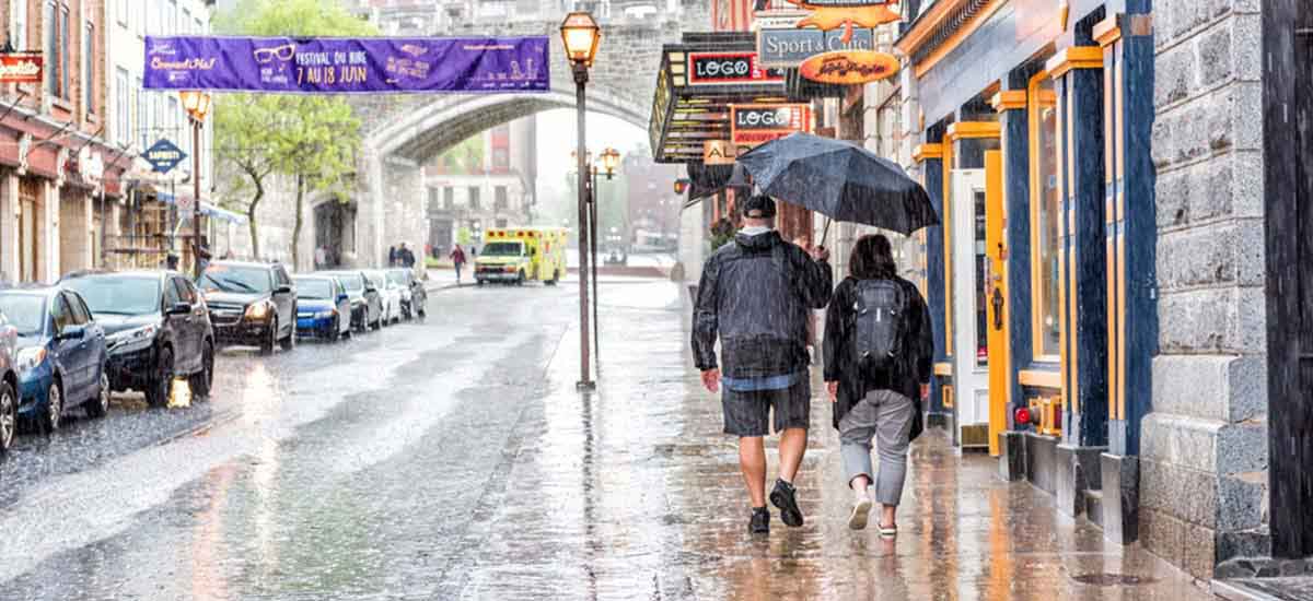
Though hurricanes and other major natural events remain relatively rare, flash storms and heavy rainfall are becoming more common across parts of Europe and the US. According to the European Environment Agency, heavy rainfall has become more common across the north of Europe since the 1960s, and the trend is predicted to continue. In the U.S., the National Climate Assessment has observed above-average rainfall since 1991, with the greatest increase in the Northeast, Midwest, and upper Great Plains regions, which have seen a rise of over 30 percent compared to pre-1960 levels.
At the same time, cities continue to grow upwards and outwards, which can compound the effects of heavy rainfall. “The more impermeable surfaces you have, the more you obstruct natural runoff,” says Franz Jenowein, JLL’s Director of Global Sustainability Research. “This translates to greater potential for excess water to negatively affect cities.”
Toronto has recent experience of this problem. In spring 2017, 44.6 millimetres of rain fell in 24 hours, breaking weather records. The stormwater and sewage systems were overwhelmed, and the resulting floods caused an estimated $5 million in damage.
A new type of urban environment
Cities, however, don’t have to be at odds with their environment. “Urbanization can be a problem—but it can also offer solutions,” says Jenowein, who cites Singapore as a case in point. “The city is a great example of how, when you really think long term, you can take excess water and use it to your advantage.” The small island state uses advanced drainage infrastructure to collect and recycle water, and sensors to monitor water levels across the city in real time.
Outside of the tropics, which are accustomed to heavy rainfall, local authorities are beginning to face up to the emerging challenges of flooding, through urban planning and resilience strategies. U.S. coastal city, Norfolk, Virginia, was last year awarded a government grant of $120 million to implement a suite of innovationsincluding underground cisterns, permeable pavers, and upgraded storm drains, as well as the creation of urban forests and riverfront wetland areas.
In Berlin, which in summer 2017 saw its heaviest rainfall in a century, green spaces with deep soil and swale trenches are being used to turn the city into a sponge to help cope with increased rainfall. As the water evaporates, it also cools the urban environment.
Making buildings part of the solution
Individual buildings, too, have a part to play. “Installing features like backflow valves in plumbing and drainage systems and elevated podiums for parking spaces to protect vehicles as well as locating critical infrastructure away from areas prone to flooding are all important ways buildings can mitigate flood risks and protect against damage,” says Jenowein.
Green roofs can also soak up significant amounts of rainwater, though this puts additional demand on a building’s load-bearing capacity. For flood mitigation, a blue roof is more effective and efficient. “Blue roofs are basically plastic sponges that retain water on flat roofs,” explains Jenowein. In combination with a retention tank, the system harvests rain for landscaping, irrigation or greywater and can relieve pressure on drainage infrastructure by slowing the flow of water. “Blue roofs are two to three times cheaper per square foot than green roofs, and have more water retention capability,” says Jenowein.
While solutions abound, for cities, one of the biggest challenges is retrofitting them into existing infrastructure. And while new building developments have an opportunity to integrate mitigation measures from the start, they are also constrained by the surrounding urban environment.
“Water needs to drain somewhere, and this is the responsibility of the municipal authority,” says Jenowein. “In an ideal situation, developers have access to information about drainage infrastructure and can integrate their systems from the start.”
Such collaboration between cities and developers is a crucial part of longer-term planning. “Up-to-date flood maps are essential for understanding the exact location and nature of the risks,” says Jenowein.
The next step is to look beyond the present situation to make informed predictions about the future. “Having sophisticated, forward-looking flood maps is a real innovation that guides individual building projects, and shows how what we do today can positively impact the future,” he concludes.